
How Much Does A Drone Survey Cost? UK Guide 2026
 Jason H
Published on: 02/02/2026
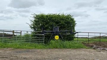
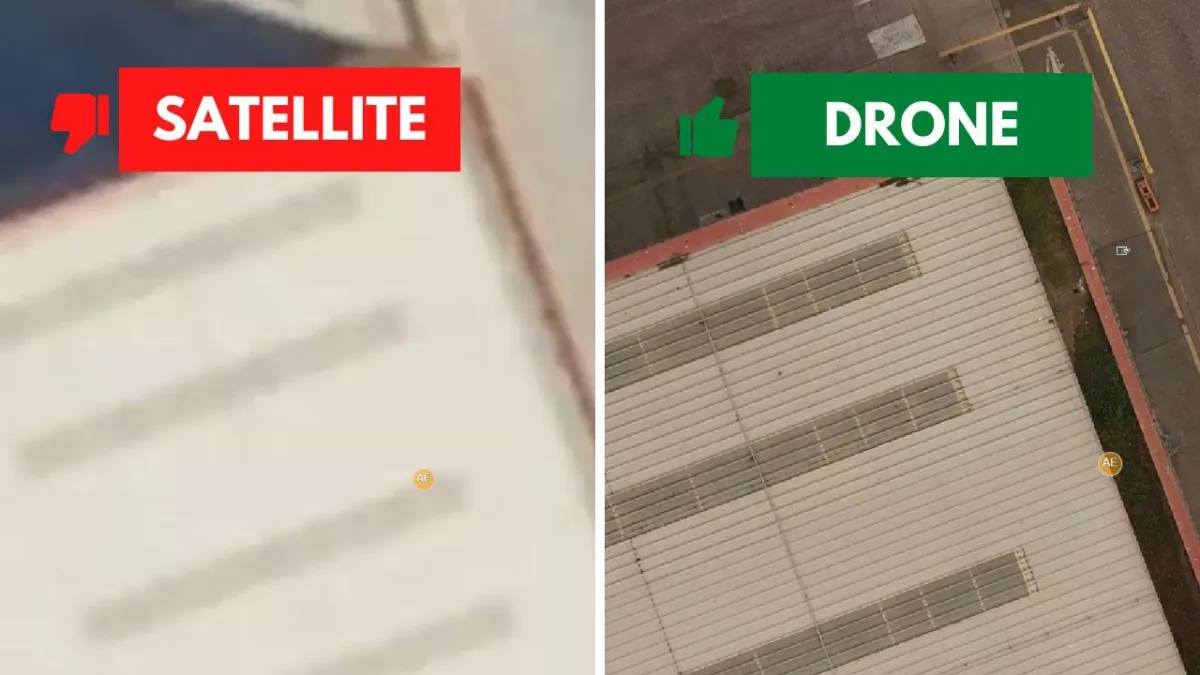
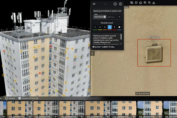
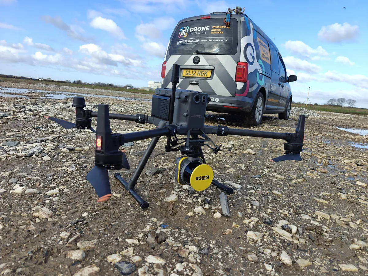
When it comes to drone surveys, every job is different and costs will vary. Let's break it down and look into the factors affecting the cost of a drone survey in the UK....
General