Drone Survey Progress Monitoring for UK Construction Sites
How drone surveys turn construction site progress monitoring into measured, dated data - deliverables, accuracy standards and the survey method explained.

How drone surveys turn construction site progress monitoring into measured, dated data - deliverables, accuracy standards and the survey method explained.

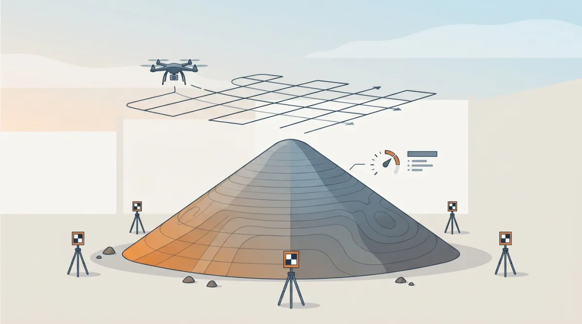
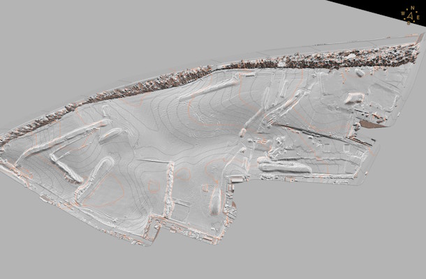
How UK construction and earthworks sites use drone LiDAR and photogrammetry surveys to measure stockpile volumes accurately and track progress over time.

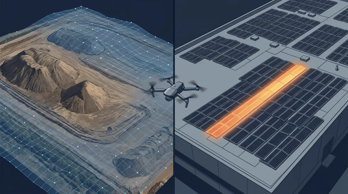
How repeat aerial surveys delivered auditable stockpile volumes, and thermal imaging traced lost solar output to faulty strings, without roof access.

Imagine being able to monitor your construction site from above, tracking progress, identifying issues, and ensuring safety—all without stepping foot on scaffolding. Sounds like a dream, right?

For construction and engineering projects, accurate and efficient surveying is the backbone of success. Traditional methods often require extensive time, manpower, and equipment, which can slow down progress and increase costs. How can drone surveys help drive efficiency?
Projects unfortunately run late or go over budget. The reason being, every day, managers battle to communicate with clients, contractors and stakeholders whilst maintaining visibility of every change on every job site, simultaneously. How can drones help with this?
Request a quote or book a meeting to discuss your project