


Drone Survey Progress Monitoring for UK Construction Sites
On most construction and earthworks sites, progress reporting still relies on someone walking the site with a reasonable estimate of how much has changed since the last visit.
On a large site, the site is changing as the site walk is taking place.
That's workable for an internal update, but it becomes a problem the moment a valuation, a payment certificate or a contractual dispute depends on an exact figure. This piece covers how a drone survey turns that estimate into measured, defensible data - what it captures, how accurate it is, and what to ask a provider before you rely on it.
The problem with visual progress reporting
Site diaries, photographs and manual material counts give a general sense of where a project stands, but they are slow to compile, inconsistent between site visits, and difficult to stand behind when money or a dispute is on the line. It's not uncommon for disputes between principal contractors and subcontractors to arise over how much work has actually been completed - and without an independent, dated record, neither side has much to point to beyond their own account of events.

How a construction progress drone survey works
A drone survey captures the whole site in a single flight rather than a series of manual measurements.
Positioning is handled with RTK, supported by a GNSS-observed ground control network so the result can be checked against other survey data rather than taken on trust. Where photogrammetry struggles - stockpiled material, dense vegetation or restricted sightlines - a dedicated LiDAR payload adds ground-penetrating capture that a camera-only survey can miss.
Data doesn't go straight from flight to deliverable - the drone is simply a data collection tool. Plant, vehicles and other site clutter in and around stockpiles and work areas need to be identified and excluded, and the point cloud goes through a processing and quality-check pass before any figure is reported. Skipping that step is the difference between a number you can rely on and one you can't.
Repeat surveys on a weekly or monthly cycle turn a single flight into an ongoing progress record, so each report compares against a known baseline rather than a fresh guess.

What you actually receive
A typical construction progress survey delivers, from the same flight and dataset:
Orthophotos - a scaled, georeferenced aerial image of the site for progress reviews and remote stakeholder updates.
Stockpile volume reports - measured material quantities, useful for inventory checks and reducing write-offs from counting errors.
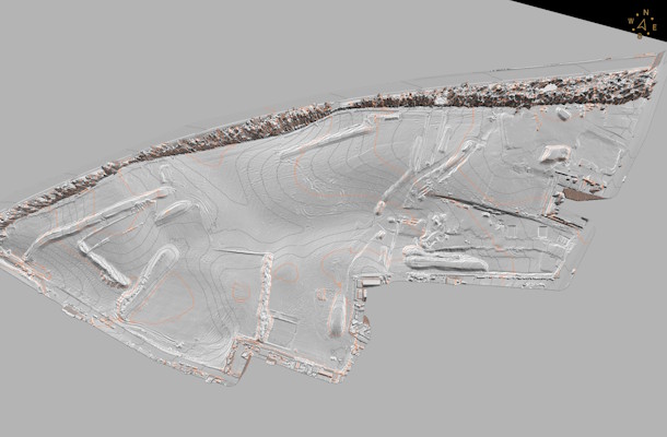
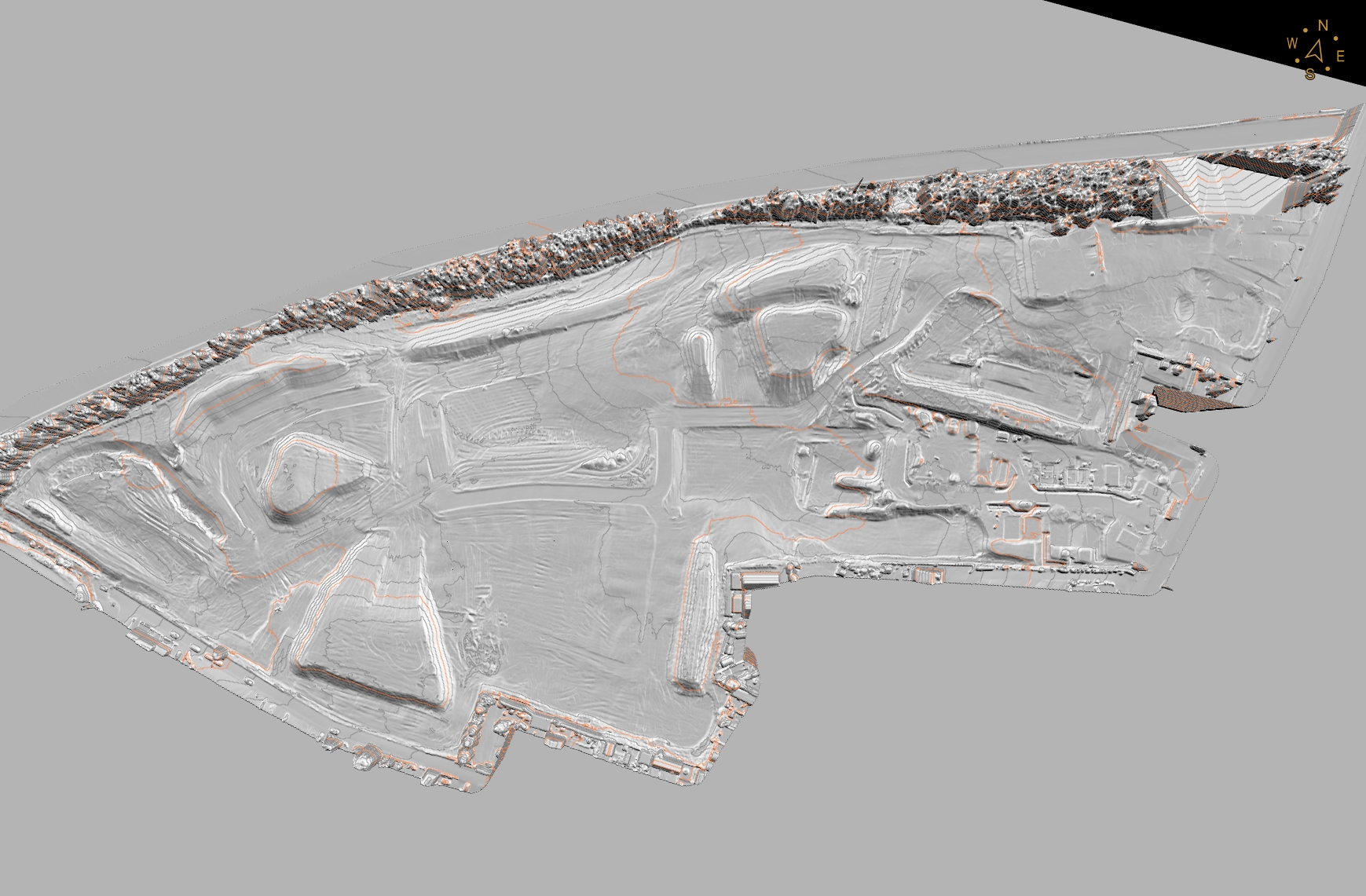
Cut/fill analysis - material moved against the approved design surface, for verifying groundworks and grading.
Classified point clouds and interactive 3D models - a full geometric record of the site at the survey date, useful for BIM/GIS workflows.
CAD-ready surfaces and contours - layered CAD output (2D/3D) and TIN surfaces for design comparison and setting-out checks.
Overlay designs against the as built for clash detection.
Because every deliverable comes from the same capture, there's no extra site time or separate visit needed for a different output - a stockpile report and a cut/fill map are two views of the same dataset, not two surveys.
Accuracy, standards and what to ask a provider
Positional accuracy depends almost entirely on whether the survey used ground control. Illustrative figures from industry sources put photogrammetry flown with RTK/PPK and ground control at around 2-5cm vertical accuracy, and LiDAR at around 3-5cm vertical accuracy under good conditions - broadly comparable to a GNSS rover survey.
Without ground control, accuracy can drop to metre level, which is not suitable for anything used as evidence for a valuation or a dispute.
RICS guidance on aerial and earth observation survey work frames good practice around documenting the methodology, equipment, weather and flight conditions, and the achieved accuracy and limitations of the survey - not just handing over a pretty image.
When evaluating a provider, it's worth asking directly: what ground control method do they use, what accuracy do they state for the deliverable, and what quality-assurance step does the data go through before you see it? Those answers separate a defensible survey from a nice-looking flyover.
Total station and GNSS rover surveys still hold the edge for precise setting-out and point-specific measurement. A drone survey earns its place for repeatable, whole-site coverage - progress tracking, stockpile volumes and earthworks records - where speed and site-wide consistency matter more than millimetre-level point accuracy.
Conclusion
If you're running a construction or earthworks site where progress, stockpiles or as-built condition need to be measured rather than estimated, get in touch with DroneWorks to discuss the right survey approach for your site.
Ready to Get Started?
If you're tracking progress on a construction or earthworks site and want measured, defensible data instead of a rough estimate, get in touch.
We’ll help you understand your options and make sure you get the best value for your budget.
Have questions about drone surveys or any of our services? Let us know what you need - we’re always happy to help.
Remember: A drone survey is an investment in accurate, actionable data that can save you time, money, and headaches down the line. Let’s make your project a success!
If you’re ready to experience the benefits of a drone survey, we’d love to help. Contact us by phone 01772 846229 or post your enquiry via our website.
Let’s discuss how we help you leverage drone technology in your next project.