


Drone Stockpile and Earthworks Surveys: Accurate Volumes Without the Guesswork
Every working quarry, earthworks contractor and construction site eventually runs into the same question: how much material is actually on the ground right now? Get that number wrong and it skews budgets, fuels disputes between contractors, and makes the next phase of work harder to plan with confidence. Drone-based stockpile and earthworks surveys exist to answer that question with data instead of a guess.
Why Manual Stockpile Counts Fall Short
Traditional stockpile measurement relies on walked GPS traces, tape measures, or experienced estimation. On a large or irregular site this takes hours, requires someone on foot near live plant and unstable material edges, and the resulting figures are often accurate to little better than a rough guess.
Where a Principal Contractor and a subcontractor each hold their own numbers, disagreements over quantities and progress become common, and there is rarely an independent record either side can point to.

How a Drone Survey Captures Stockpile and Earthworks Data
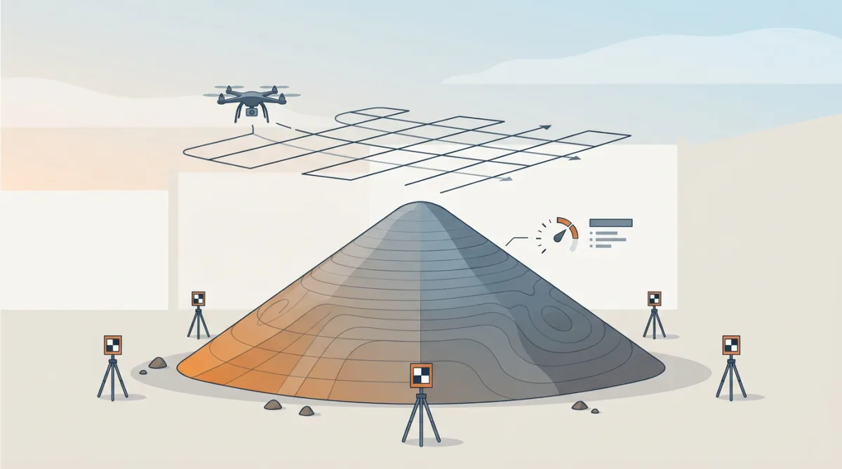
A stockpile or earthworks survey starts with a GNSS-observed ground control network, set out and measured before the drone ever takes off. The DJI Matrice 350 RTK then flies the site carrying a 45-megapixel photogrammetry sensor, capturing overlapping imagery that reconstructs into a dense point cloud and orthomosaic. Positioning is RTK-corrected throughout the flight, so every point in the resulting model ties back to the ground control network rather than to GPS alone.
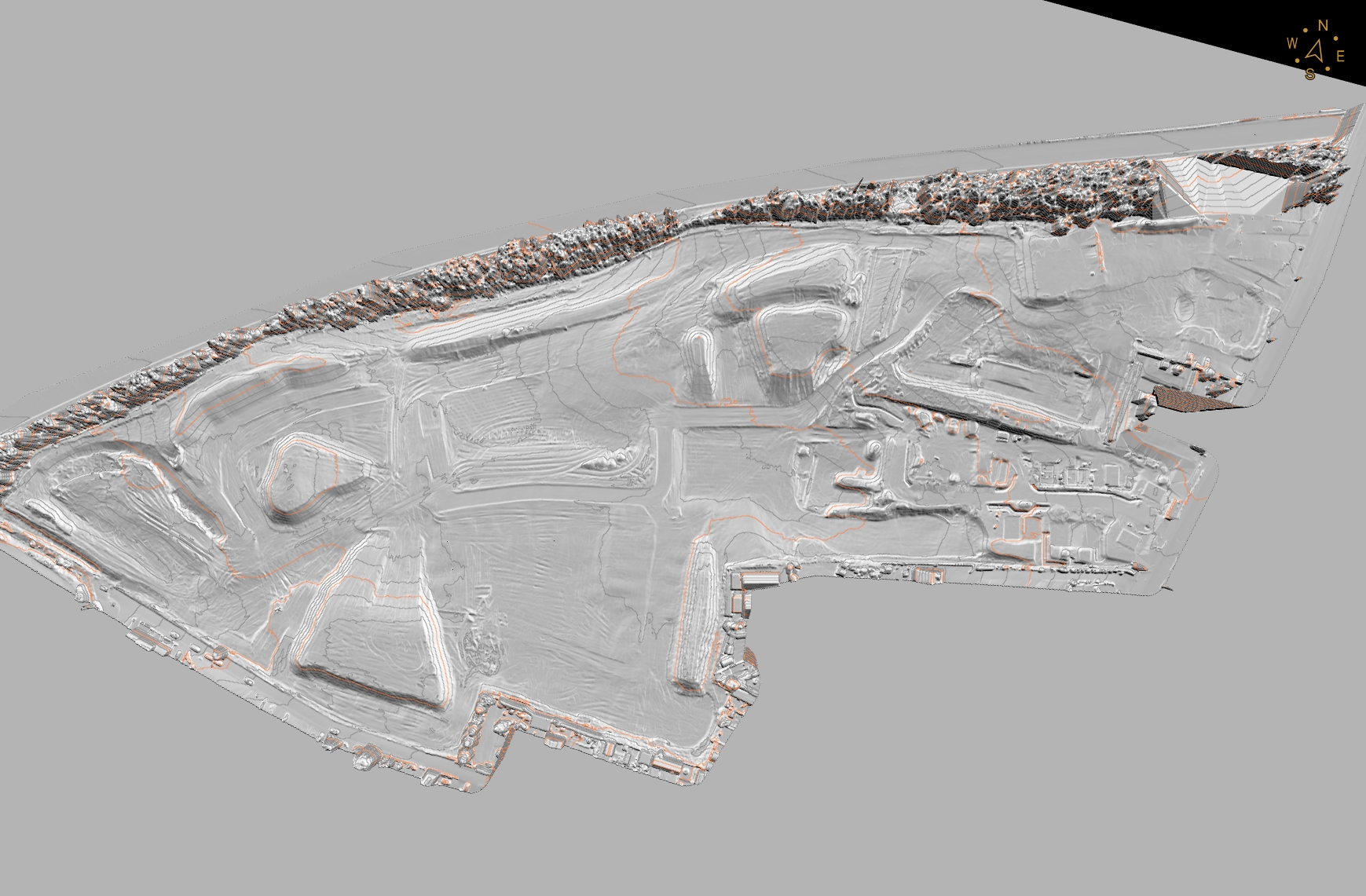
Once the flight is complete, the raw data is processed and checked against the control points before anything is reported. Plant, vehicles and stored materials sitting on or around a stockpile are identified and excluded from the volume calculation - a surface model that includes a parked excavator or a stack of pallets reports the wrong pile. This verification step is where most of the actual work happens; the flight itself is only a small part of the job.
LiDAR or Photogrammetry: Choosing the Right Method
Photogrammetry is the default for open, well-lit stockpiles and hard surfaces, producing a photorealistic model at centimetre resolution. Where a site has areas of vegetation, deep shadow, or a surface with little texture for the software to lock onto, a LiDAR payload can be added to the same flight, capturing roughly 300 points per square metre and seeing through low ground cover to the true surface beneath.
Rather than asking a client to choose between the two, DroneWorks assesses the site and combines both methods in a single mobilisation where it improves the result - one flight, two datasets, no second site visit required.
From Flight to Deliverable: What You Actually Get
The processed survey produces more than a single volume figure.
Typical outputs include
cut/fill analysis measured against a previous survey
layered CAD drawings in 2D and 3D
stockpile volume report
contours
an orthophoto backdrop
an interactive 3D model that project teams can view in a browser without needing their own survey software.
For active sites, DroneWorks can repeat the survey on a routine cycle, turning a one-off snapshot into ongoing progress tracking that compares each visit against the initial design and the previous capture.

Accuracy depends on the survey control and validation method used, not on the drone alone. With RTK positioning and a checked ground control network, industry-reported volume accuracy for a well-flown stockpile survey typically falls in the region of 1-3%, close enough to support both progress reporting and inventory reconciliation. Before commissioning a survey, it is worth asking any provider what ground control they use, whether they fly RTK or PPK, and how they handle plant and vehicles in processing - a headline accuracy figure means little without knowing how it was checked.
Accurate stockpile volume surveys give site and commercial teams a shared, independent record instead of competing estimates. If you have stockpiles, earthworks or a site where accurate volumes matter, get in touch to discuss the right survey approach for your site.
Ready to Get Started?
If you're planning a stockpile survey, earthworks monitoring, or need reliable volume data for your site, we'd love to help.
We’ll help you understand your options and make sure you get the best value for your budget.
Have questions about drone surveys or any of our services? Let us know what you need - we’re always happy to help.
Remember: A drone survey is an investment in accurate, actionable data that can save you time, money, and headaches down the line. Let’s make your project a success!
If you’re ready to experience the benefits of a drone survey, we’d love to help. Contact us by phone 01772 846229 or post your enquiry via our website.
Let’s discuss how we help you leverage drone technology in your next project.