
⚙️One Wrong Setting = One Wasted Day: A Day in the Life of a Professional UAS Operator
"Surely the drone sorts all that out, right?"
If only.
In our world, one incorrect camera setting, flight parameter, or payload configuration can mean the difference between a perfect deliverable and an entire wasted day - or worse, a project that must be re-flown at our own expense.
When you’re operating in high-precision environments - whether it’s Photogrammetry of a 400m long warehouse, LiDAR in uneven dense woodland, or Thermal solar panel inspections - the margin for error is razor thin.
The prep isn’t optional.
The technical discipline is what keeps us flying.
🎯 The Preparation Starts Before We Arrive
Long before a propellor spins, we’re already deep into the checklist - tailored for the specific mission type:
✅ Reviewing airspace restrictions, NOTAMs, and VLOS considerations
✅ Analysing weather forecasts: wind gusts, sun angle, cloud cover
✅ Reviewing client requirements and site-specific constraints
✅ Pre-configuring camera settings, payload profiles, lens setups, and flight plans
We go in fully prepared - but we also go in ready to adapt.
🧰 Mission Types & Why Settings Matter
Each mission type has its own technical requirements.
Here's how misconfigured settings can sabotage the entire output...
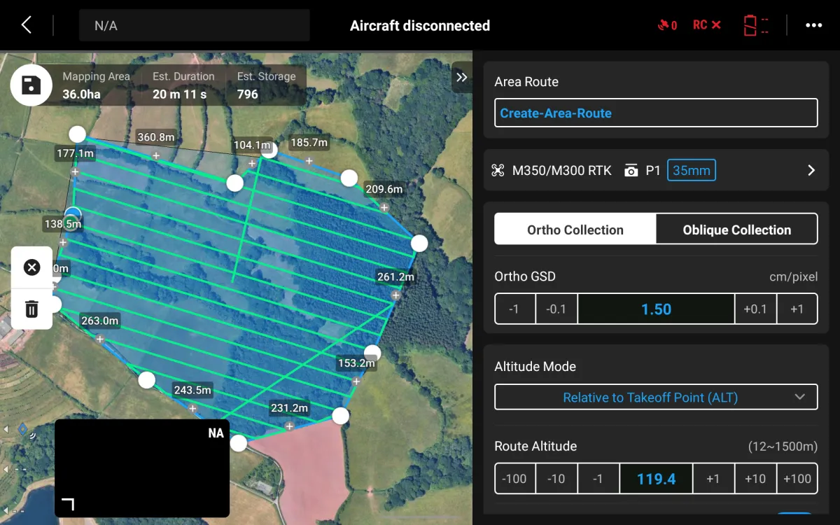
📸 Photogrammetry / 3D Modelling
Goal: Create accurate 2D orthomosaics or detailed 3D reconstructions.
Settings: Image sharpness, overlap, flight altitude, and exposure settings must work together.
What Can Go Wrong:
Blurry images
Coverage gaps
Incomplete or warped 3D models
Data unusable for clients who rely on Absolute level accuracy

*The picture above shows an example of an underexposed image during an inspection mission of a warehouse

*The picture above shows an example of an overexposed image during an inspection mission of a warehouse
🟢 LiDAR Mapping
Goal: Generate high-fidelity point clouds and terrain data - even under canopy or in complex terrain.
Settings: Laser pulse rate, scan angle, flight speed, and altitude all affect data density and accuracy.
What Can Go Wrong:
Patchy or distorted surfaces
Poor georeferencing
Misaligned outputs that fail QC checks

🌡️ Thermal Solar Panel Inspections
Goal: Detect and document hotspots, faults, or missing panels.
Settings: Flight timing, gimbal angle, thermal palette, and emissivity settings directly affect contrast and detection.
What Can Go Wrong:
Missed defects due to poor contrast
Reflections hiding critical faults
False negatives that delay repairs
Irradiance level too low to record data

🏢 Façade Modelling / Vertical Inspections
Goal: Capture clear, structured images for asset condition reporting and 3D reconstruction.
Settings: Gimbal angle, flight path geometry, standoff distance, GSD and overlap are all key.
What Can Go Wrong:
Blurred images due to motion or inconsistent distance management
Gaps in coverage
Warped or incomplete reconstructions
Here's an example of how Façade modelling should turn out...

⚠️ Adapt on Arrival: Why Settings Change Last-Minute
Even with meticulous planning, on-site conditions and logistical hurdles can force real-time adjustments to settings, flight plans, and payload configuration:
🌬️ Stronger wind and gusts than forecast – May require slower flight speeds, adjusted flight angles, and revised battery strategy to maintain efficiency and data quality.
🌦️ Unplanned rain or shifting sunlight – Can impact thermal contrast or image consistency, leading to recalibration of exposure or flight timing.
🚧 Obstructions like cranes, scaffolding, or vehicles – May prevent automated routes from running as planned, forcing manual flight or changes to gimbal angles and pathing.
🛫 Limited take-off or landing zones – Can restrict launch points, altering route geometry and timing of battery swaps.
🛑 Unexpected airspace activity – May force mid-flight altitude changes or pauses, impacting coverage and requiring route reconfiguration.
🔄 Real-World Example: Rushing = Re-Flying
On one long, early-British-summers day, I attempted two full solar farm inspections - both decent-sized sites, about a 3-hour drive away.
The plan was tight but doable: start at the farthest site, complete the flight in one go (assuming no cloud cover and just pausing for battery swaps), then drive 45 minutes to the next site, which is on the way home.
Everything went to plan initially - great conditions, solid irradiance, no interruptions.
I smashed through the first job in record time. I packed up, locked the site, and headed to site two.
But things soon started to go wrong...
At the second site, RTK refused to play ball.
The terrain was uneven, and the signal kept dropping - a major issue, as accurate elevation data was critical to capture the solar panels at the correct height on massively uneven terrain.
Worse still, something didn’t look right.
The thermal images lacked contrast. I hadn’t changed any settings - and that’s when it hit me:
I’d flown the entire first site using the wrong temperature range.
Not only were the images from site two compromised - the entire dataset from site one was too.
The second site couldn’t wait indefinitely for RTK to stabilise - and there was no time left to troubleshoot or replan.
The only option? Drive all the way back to site one, re-fly it properly, and salvage the day.
That meant missing out on job two entirely - and enduring a disappointing 3-hour drive home, kicking myself the whole way.
It’s the kind of mistake you only need to make once.
Now, every setting gets checked twice before take-off - and the thermal palette? Never forgotten about again!
✅ The Takeaway: Settings are the Mission
Operating drones professionally means accepting this truth:
The flight is only as good as the settings & preparation behind it.
Every mission has different needs.
Every environment brings different challenges, and every professional knows that a quick glance at the settings can save a week of rework.
Because in this line of work, one wrong setting really can mean one wasted day.
Ready to Get Started?
If you’re considering a drone survey, we’ll guide you through the options, explain what’s included, and help you choose the right solution for your needs.
Remember: A drone survey is an investment in accurate, actionable data that can save you time, money, and headaches down the line. Let’s make your project a success!
If you’re ready to experience the benefits of a drone survey, we’d love to help. Contact us by phone 01772 846229 or post your enquiry via our website.
Let’s discuss how we help you leverage drone technology in your next project.