


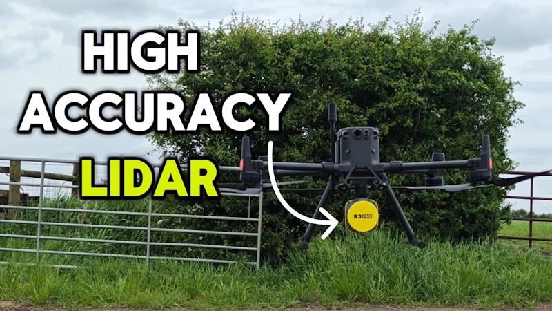
Drone LiDAR Surveys: Accurate Ground Data Where Cameras Can't See
Most drone surveys rely on photogrammetry: overlapping photos stitched into a 3D model. It works well on open ground, but it has a blind spot.
A camera can only map what it can see, and on many UK sites, what it sees is the top of a hedge, a stand of trees or a patch of long grass, not the ground underneath.
Drone LiDAR was developed to solve exactly this problem, and it has become a standard tool for construction, infrastructure and land projects where vegetation or access makes conventional survey methods slow, difficult or unreliable.
Why photogrammetry struggles on vegetated or complex sites
Photogrammetry builds a surface model from what a camera can resolve in overlapping images. On bare, open ground that surface is a good proxy for true ground level. Under a canopy, it isn't - the model follows the top of the vegetation, not the soil beneath it.
That gap matters more than it might first appear: earthworks volumes, drainage falls and utility clearances are all calculated from ground level, so an inflated or inaccurate terrain model can carry through into design decisions before anyone realises the ground was never really measured.
Traditional ground survey (total station or GNSS) avoids this by physically measuring the ground, but it is slow on large, awkward or overgrown sites, and it can mean staff spending long periods working alongside traffic, plant or on unstable terrain.
How drone LiDAR solves the ground-level problem
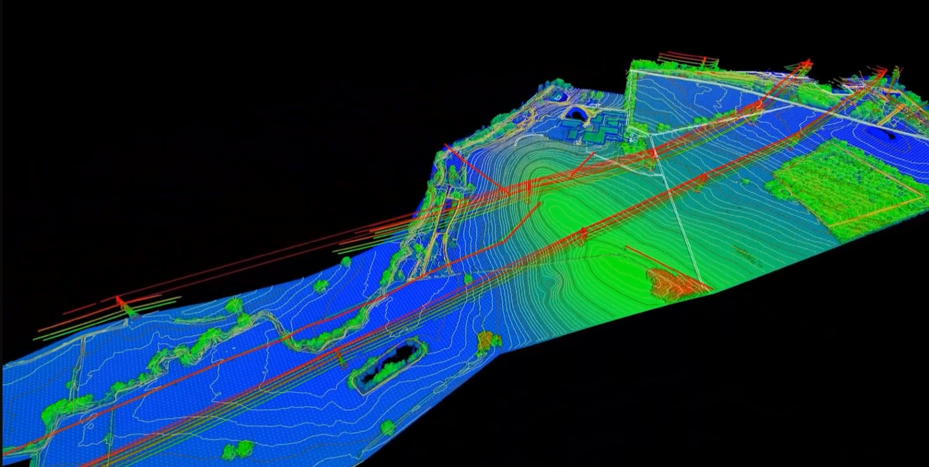
LiDAR (Light Detection and Ranging) fires rapid pulses of laser light at the ground and measures the time each pulse takes to return. Because a laser beam is far narrower than a camera's field of view, enough pulses pass through small gaps in foliage to strike the actual ground, even where the canopy looks solid from above. Specialist processing software and proven workflows then classifies each returned point - ground, vegetation, structure - and builds a bare-earth digital terrain model (DTM) from the ground returns alone.

The flight itself is tied into survey control using PPK, so the resulting point cloud sits on the same coordinate system as any existing site data (typically OSGB36 National Grid or ETRS89).
A defined site is usually flown in well under an hour, with the full visit including ground control taking around two hours, and data turned around within a few days - a fraction of the time a ground crew would need to walk and log the same area by hand.
LiDAR is not a magic bullet. Despite its ability to penetrate vegetated areas, in summer when vegetation is very dense, especially at ground level, LiDAR may not always produce the required result. Best results are achieved in autumn and winter during leaf-off periods. We always give honest, straight advice when discussing a potential survey.
Where UK projects see the biggest gains
The sectors that benefit most are the ones where vegetation, distance or access are the limiting factor:
Rail and highway corridors - long, narrow strips of terrain running through cuttings, embankments and scrubby verges, where LiDAR captures continuous ground data along the whole alignment in one pass.
Utilities and energy - vegetation management around powerline corridors and renewable energy sites, where true ground level under a hedge line matters as much as clearance to the line itself.
Land surveying and forestry - bare-earth terrain modelling and canopy height data for sites where the ground is genuinely hidden from above.
Construction and earthworks - large or overgrown plots where a single LiDAR flight can replace days of total station or GNSS fieldwork, particularly useful for early-stage topographic surveys on sites that haven't yet been cleared.
What you actually receive, and the accuracy behind it
A drone LiDAR survey typically produces a classified point cloud (delivered as LAS/LAZ), a bare-earth digital terrain model and contour plans. However, clients typically need CAD-ready DWG/DXF surfaces for design teams working in Civil 3D, or a layered CAD DXF/DWG.
Imagery is also captured alongside the LiDAR data - orthophotos and an interactive 3D model are usually included too, giving project stakeholders a way to view the site without a visit, and helping collaboration across the project team.

On accuracy, UK drone LiDAR work is generally expected to meet the same tolerances as conventional topographic survey - typically centimetre-level horizontal and vertical accuracy on a well-controlled site, achieved through RTK/PPK GNSS and ground control points.
Where the output feeds a PAS 128 utility survey, the topographic component needs to match or exceed the tolerances assumed for utility plan production, usually 5cm vertical or better, and all data must tie into the same survey control as the utility mapping.
A credible survey report should always show the ground control used and the resulting error statistics, so the work can be independently checked. RMSE alone is not the same thing as accuracy - a topic worth a write-up of its own.
Getting it right: what to ask before commissioning a survey
Not every site needs LiDAR. Photogrammetry is faster and more cost-effective on open, unobstructed ground, and LiDAR's premium is earned specifically by its ability to see through vegetation.
Before commissioning a drone LiDAR survey, it's worth asking what proportion of the site is genuinely obscured by vegetation or structures, and asking any provider to state their ground control method and expected accuracy rather than a generic percentage figure.
A survey that can show its working - control points, error statistics, coordinate system - is one you can rely on later, whether that's for a planning application, a design handover or a dispute.
If you have a vegetated, large or hard-to-access site that needs reliable ground data, get in touch to discuss whether a LiDAR survey is the right fit.
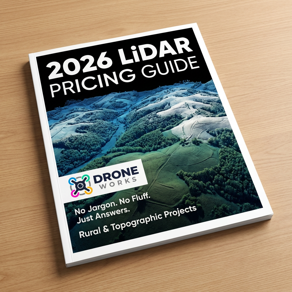
How Much Does a LiDAR Survey Cost?
It’s one of the most common questions we get at DroneWorks.
Here’s a clear, no-nonsense breakdown of what influences pricing, why it varies, and how to get the best value for your project.. 👉
Ready to Get Started?
If you're planning a survey on a vegetated, long or hard-to-access site and need reliable ground data,
We’ll help you understand your options and make sure you get the best value for your budget.
Have questions about drone surveys or any of our services? Let us know what you need - we’re always happy to help.
Remember: A drone survey is an investment in accurate, actionable data that can save you time, money, and headaches down the line. Let’s make your project a success!
If you’re ready to experience the benefits of a drone survey, we’d love to help. Contact us by phone 01772 846229 or post your enquiry via our website.
Let’s discuss how we help you leverage drone technology in your next project.