


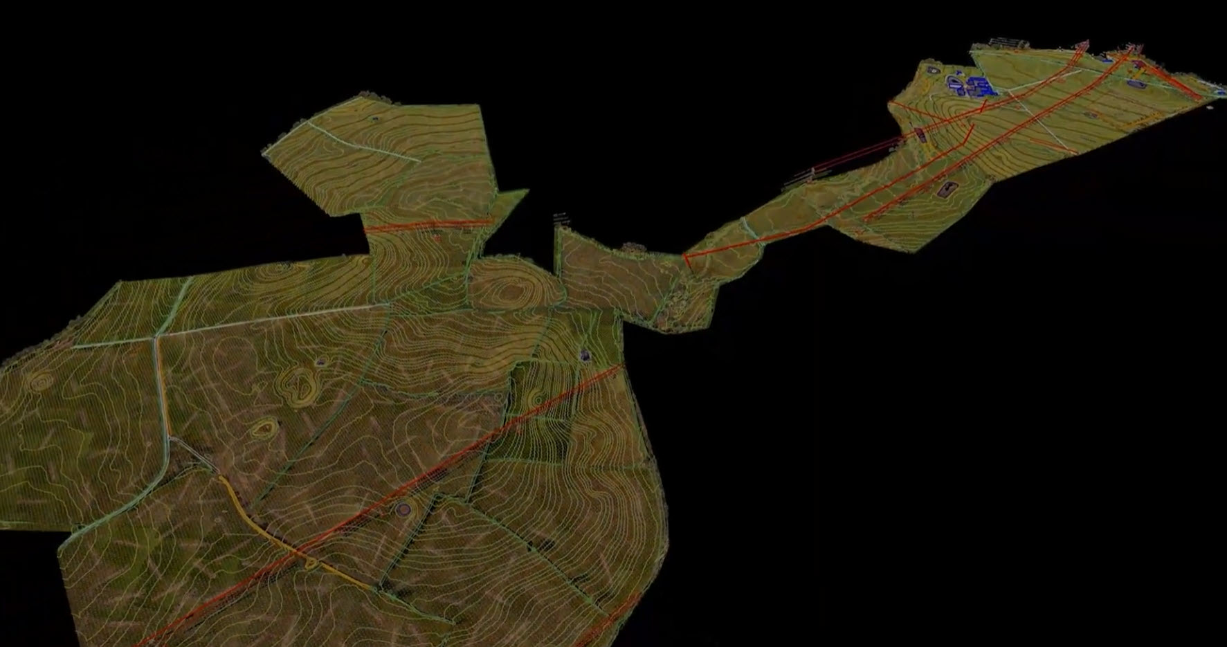
Drone LiDAR Survey for Solar Farm Design in the UK
Before a solar farm design team can finalise where PV tables sit and how far apart to space them, they need an accurate picture of the ground beneath the proposed array - and anything nearby that could shade it.
For a 100-hectare parcel of UK farmland earmarked for a new solar development, that meant capturing detailed topographic survey data across several field parcels divided by hedgerows, trees and roads, alongside the exact height and position of HV pylons and an overhead line running through the site.
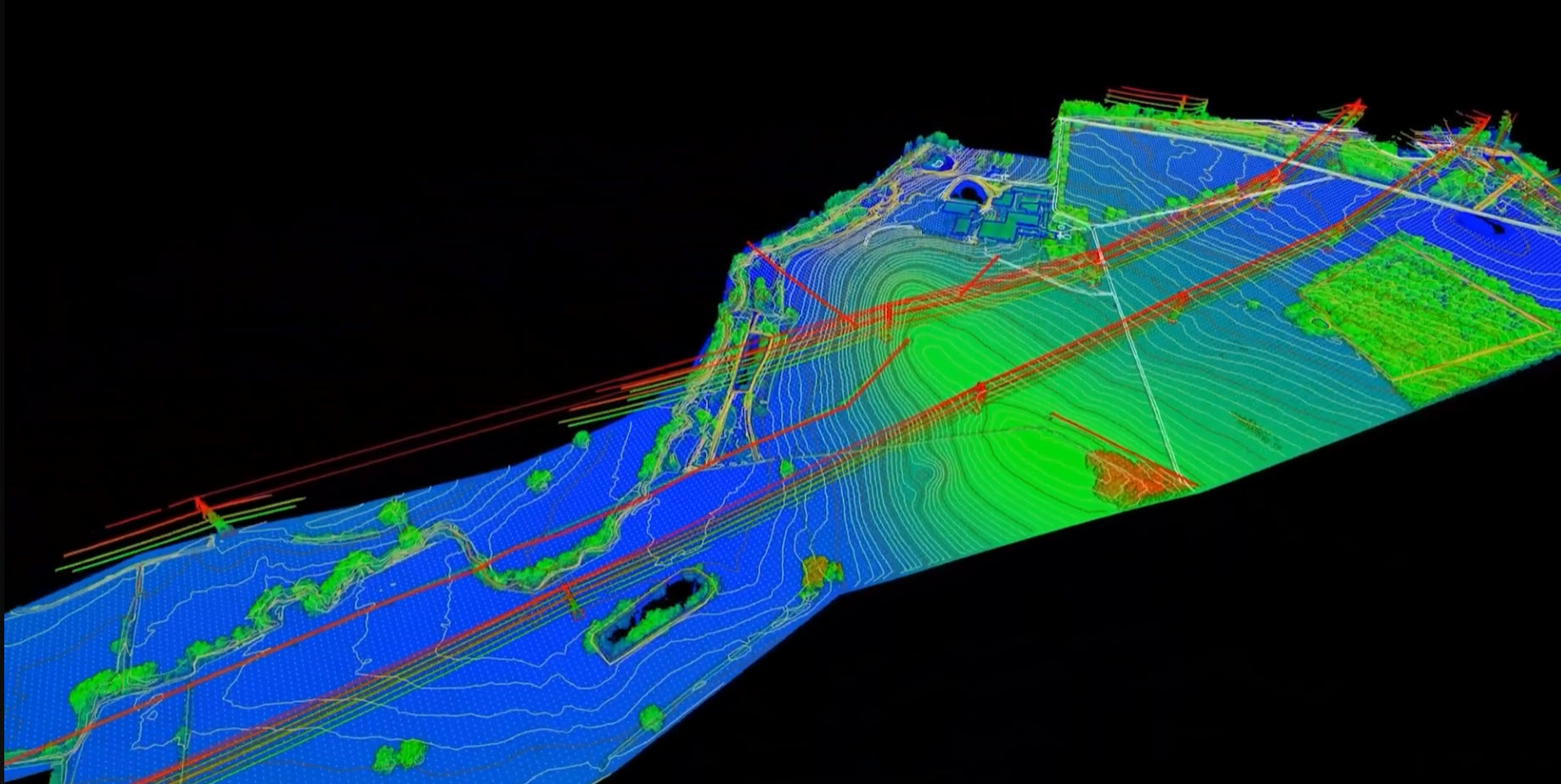
DroneWorks carried out a drone LiDAR survey of the whole site in a single day, delivering the terrain, vegetation and infrastructure data the design team needed to move straight into layout and shading calculations.
The challenge: why solar farm design needs accurate topographic survey data
Solar farm design starts with terrain. Table layout, inter-row spacing and access routes on a large ground-mount site are all set by the shape of the land, and even gentle undulation across 100 hectares can meaningfully change where panels can go and how much they will shade one another.
RICS guidance on earth observation and aerial surveys is commonly used in UK practice to define the accuracy a topographic survey needs to meet for design and construction work - and the answer, for detailed solar design, is centimetre-level.
The client's design team needed three things from a single survey:
an accurate bare-earth model of the site
the height of vegetation bordering the fields
the position of the HV pylons and overhead line crossing the land
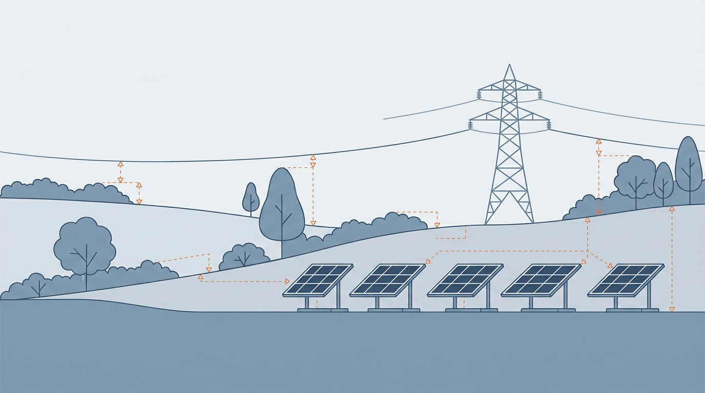
Ground levels drive earthworks and PV table spacing; vegetation height determines how much shade hedgerows and trees will cast on nearby rows; pylon and line positions set clearance zones and feed into shading checks around the corridor.
Missing or approximate data on any of these risks a redesign once construction is under way, or a layout that underperforms once built - or at least a revisit to site to fill in the gaps.
The site itself made this harder to gather with traditional ground survey methods: multiple parcels bordered by hedgerows, trees and roads meant slow going for a survey crew, and the vegetation that made access difficult was also the vegetation the design team most needed data on.
The DroneWorks approach: a drone LiDAR survey across 100 hectares
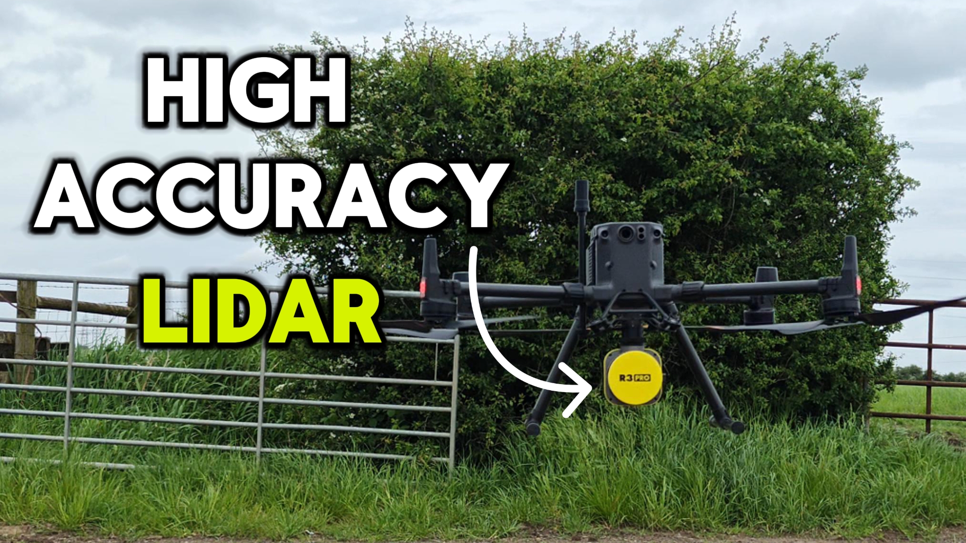
DroneWorks carried out the survey using a DJI M350 RTK drone fitted with a Rock R3 Pro LiDAR sensor. LiDAR was the right tool here rather than photogrammetry because its pulses can pass through gaps in foliage and return from the ground beneath - critical for recovering a genuine bare-earth surface under hedgerows and tree cover, which a camera-only survey cannot see through.
The survey took two days on site: one to establish ground control, tying the flight into a verified coordinate system, and one to fly and capture the full 100 hectares.
Industry practice for UK aerial LiDAR surveys of this kind typically targets centimetre-level absolute accuracy once tied to ground control, well within the tolerance needed for solar farm design work at this stage.
The resulting point cloud was processed, quality-checked and extracted to CAD within a week - a turnaround that let the design team start layout work almost immediately, rather than waiting for a traditional ground survey to work its way across several hedgerow-divided parcels.
From LiDAR point cloud to deliverables: terrain, vegetation and infrastructure data
The captured point cloud was classified to separate bare ground from vegetation and other above-ground features, a process that reveals the true terrain even where hedgerows and tree canopy would otherwise obscure it.
From this classified LiDAR data, DroneWorks extracted:
A bare-earth terrain model of the full site
Tree and hedgerow heights across every parcel
The position and height of the HV pylons and overhead line crossing the land
These were delivered as a layered CAD topographic drawing, ready to import into the client's design software, and an interactive 3D model that lets the design team view the site, check levels and pull dimensions directly - alongside supporting site images and video.
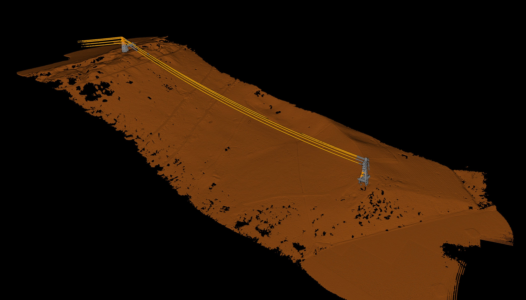
Why LiDAR survey data matters for solar farm design
Terrain and vegetation data from a single LiDAR survey feeds two separate parts of the design process.
The bare-earth model underpins PV table layout, inter-row spacing and earthworks planning - on sloped or undulating ground, row spacing has to be adjusted to avoid rows shading each other.
Accurate vegetation heights let designers model exactly how much shade hedgerows and trees bordering the site will cast on nearby rows through the year, rather than relying on estimates.
Knowing the real position and height of the HV pylons and overhead line - rather than an assumed clearance - lets the team set appropriate exclusion zones and check shading impact from the corridor itself, without over-engineering unnecessary buffer distances.
Conclusion
For solar developers working with large, subdivided rural sites, a single drone LiDAR survey can replace what would otherwise be several separate site visits: one for terrain, one for vegetation, one for infrastructure clearance.
If you're planning a solar farm, or any large-area development that needs accurate topographic survey data before design work can begin, contact DroneWorks to discuss the right survey approach - or read our guide to how a drone LiDAR survey is scoped and priced.
Ready to Get Started?
If you're planning a solar farm or any large-area development that needs accurate ground, vegetation or infrastructure data, get in touch.
We’ll help you understand your options and make sure you get the best value for your budget.
Have questions about drone surveys or any of our services? Let us know what you need - we’re always happy to help.
Remember: A drone survey is an investment in accurate, actionable data that can save you time, money, and headaches down the line. Let’s make your project a success!
If you’re ready to experience the benefits of a drone survey, we’d love to help. Contact us by phone 01772 846229 or post your enquiry via our website.
Let’s discuss how we help you leverage drone technology in your next project.