


Case Study: Drone LiDAR Survey of a 35 Hectare Wood Block for Planning
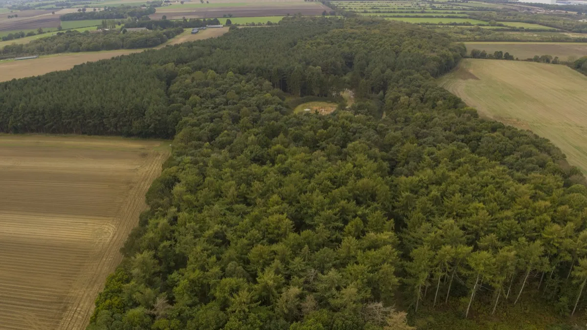
Woodland is the hardest ground there is to survey. A ground crew moves slowly under tree cover, satellite imagery shows nothing but canopy, and a camera-based drone survey only ever sees the tops of the trees.
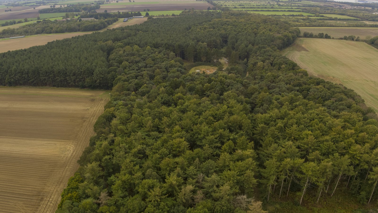
So when a landowner needed ground levels and tree canopy data across a 35 hectare parcel dominated by a dense wood block, to assess the site and support a planning application, the survey method mattered as much as the survey itself.
DroneWorks captured the whole site with drone LiDAR in a single day on site, and delivered a CAD topographic survey and a Land Registry compliant title plan within 7 days.
The challenge: ground levels under a dense wood block
The client needed a clear picture of the site before a planning application could go in. That meant two things from one survey:
Accurate ground levels across the whole parcel, including the ground beneath the trees
Tree canopy data, showing the extent and height of the woodland
Most of the site was covered by mature, closely spaced trees. A traditional ground survey would mean days of slow work under cover, with poor GNSS reception beneath the canopy. A photogrammetry drone survey would be quick, but it builds its model from what the camera can see, and under a closed canopy that is leaves, not ground.
The DroneWorks approach: drone LiDAR survey
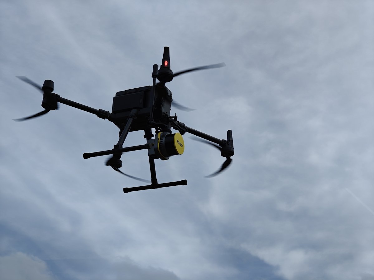
We flew the site with a DJI M350 RTK carrying a Rock R3 Pro LiDAR sensor. LiDAR was the right tool because a laser beam is far narrower than a camera's field of view, so enough pulses pass through small gaps in the foliage to reach the ground beneath. A single flight records both the top of the canopy and the ground under it.
Day 1: established surveyed ground control and captured the full 35 hectares, all in one day on site
Within 7 days: classified the point cloud, produced the CAD topographic survey and prepared the title plan
From point cloud to two surfaces: canopy and bare earth
The raw LiDAR point cloud contains everything the laser hit: treetops, branches, undergrowth and ground. Classification separates the ground returns from the vegetation, which gives two surfaces from the same survey.
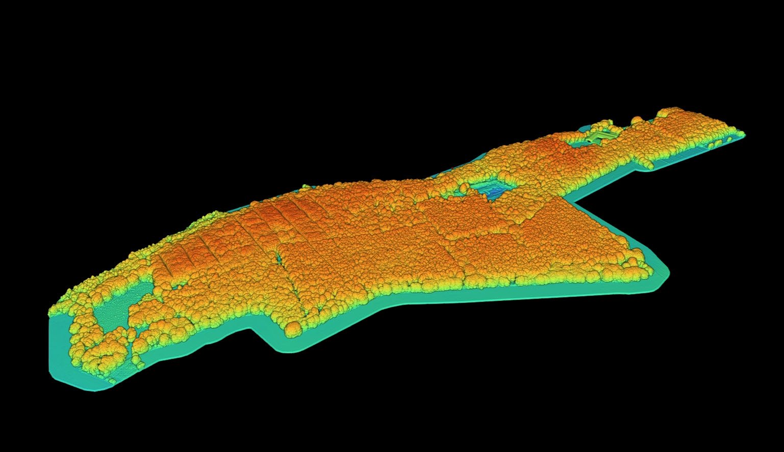
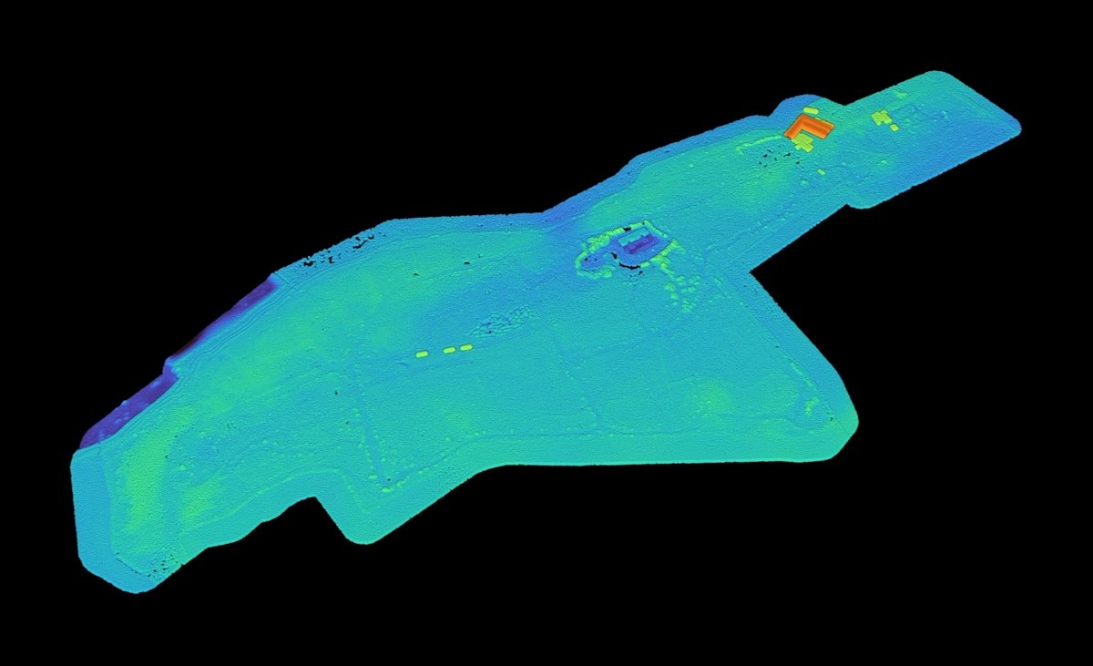
Put side by side, the difference is the whole point of the survey. The canopy model shows how much tree cover there is and how tall it is. The ground model shows what the land is actually doing underneath it: slopes, hollows, tracks and drainage that were invisible from above.
What we delivered
Bare-earth ground model of the full site, including beneath the woodland
Canopy surface model showing the extent and height of tree cover
Orthophoto of the whole site
CAD topographic survey of the site
Land Registry compliant title plan, ready for submission
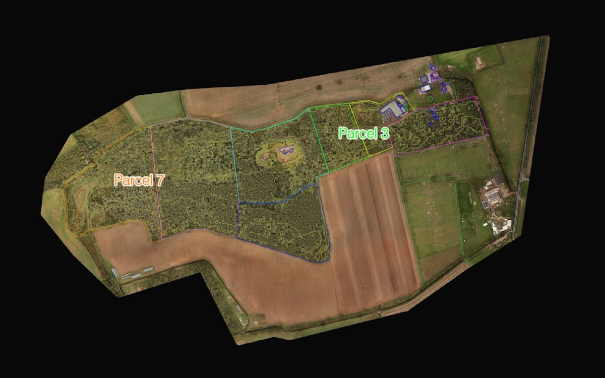
The outcome
One day on site gave the client good ground levels and tree canopy data across the whole parcel, including under dense woodland that neither a ground crew nor a camera could have measured efficiently.
Seven days later they had everything needed to assess the site and move the planning application forward, plus a title plan ready to submit to the Land Registry, with no second visit required.
When to choose LiDAR for land and woodland surveys
LiDAR earns its place wherever vegetation hides the ground: woodland, hedgerows, overgrown or scrubby land and field margins. On open, unobstructed ground, photogrammetry is often faster and more cost-effective, and we will always recommend the method that suits the site rather than the most expensive one.
One caveat worth knowing: LiDAR gives the best ground results in autumn and winter, during leaf-off periods. In high summer, very dense undergrowth can limit how many pulses reach the ground, so timing is part of scoping the survey properly.
If you manage land with woodland or heavy vegetation and need accurate ground data for planning, management or boundary work, contact DroneWorks to discuss the right approach, or read our guide to how a drone LiDAR survey is scoped and priced.
Ready to Get Started?
If you manage land and need accurate ground, vegetation or boundary data, get in touch. We'll help you understand your options and make sure you get the best value for your budget.
Have questions about drone surveys or any of our services? Let us know what you need - we're always happy to help.
Contact us by phone 01772 846229 or post your enquiry via our website.