


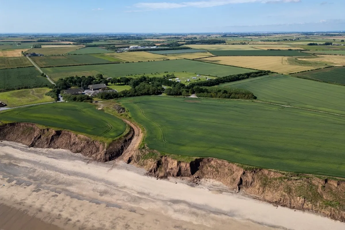
Case Study: 100 Hectare Rural and Coastal Drone Survey for Land Management
Managing a large rural landholding starts with knowing exactly what is on it. Field boundaries, levels, tracks, hedgerows and, where the land meets the sea, a coastline that does not stay still.
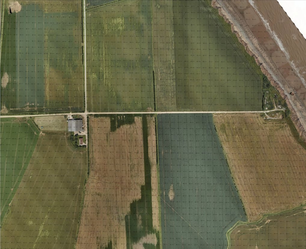
A land management team needed exactly that picture across a 100 hectare holding of farmland and coastline: a detailed orthophoto, full topographic data in 3D CAD, and a shared 3D model that everyone on the project could work from.
DroneWorks captured the whole site in two days on site and delivered the CAD and 3D model within a week, including a coastal section with limited access at high tide.
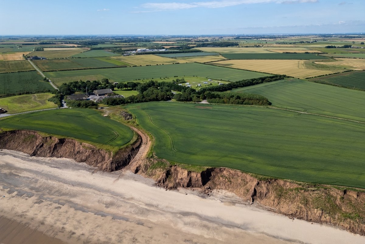
The challenge: 100 hectares of farmland and coastline
Surveying an area this size by conventional ground methods would have taken weeks. The site was split into multiple parcels divided by hedgerows, trees and roads, which meant slow going for a ground crew, and the coastal section could only be reached on foot around the tide.
The land management team needed three things from one survey:
A detailed orthophoto of the whole site, with far more clarity and currency than satellite imagery such as Google Earth
Topographic data: boundaries, spot heights, contours and features, all extracted to 3D CAD, including the coastal areas
An interactive 3D model, cloud hosted and photorealistic, so the project and land management teams could work from the same view of the site
The DroneWorks approach: high-resolution photogrammetry
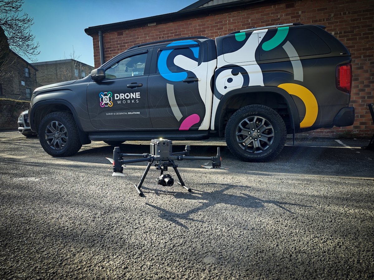
We chose photogrammetry, flying a DJI M300 RTK with the 45MP Zenmuse P1 full-frame camera. Detailed measurement beneath vegetation was not critical on this site, and the P1's image detail is exactly what a sharp orthophoto and a photorealistic 3D model need.
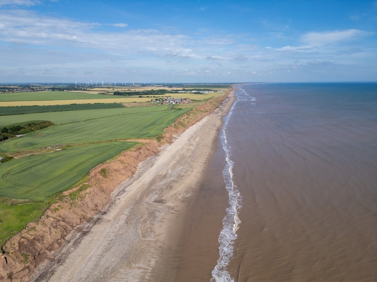
Capturing from the air also solved the coastal access problem. The cliff and foreshore were surveyed from above, with no need to work on foot below an eroding cliff or around the tide times.
Day 1: established surveyed ground control, tying the survey into a verified coordinate system
Day 2: flew and captured the full 100 hectares
Within 1 week: processed and quality-checked the data, and extracted the CAD deliverables and 3D model
What we delivered
Terrain model of the full site
Tree and hedgerow positions across the holding
Contours and spot levels on a 5 m grid across the site
Layered CAD topographic drawing with an orthophoto backing layer for context
Interactive, cloud hosted 3D model for checking levels and taking measurements
Supporting site imagery and video
The outcome
One drone survey gave the land management team accurate topographic data and a shared 3D model of the whole holding, to support day-to-day land management and future planning.
Farmland, hedgerows, trees and an eroding coastline were measured rather than estimated, in a single mobilisation, and tied to surveyed control. Because the data is georeferenced, a repeat survey in future can be compared directly against this one, which is particularly useful for tracking change along the coastline.
Photogrammetry or LiDAR?
Photogrammetry was the right call here because the ground that mattered was open and visible from the air. Where woodland or dense vegetation hides the ground, drone LiDAR is usually the better tool, because its pulses pass through gaps in the foliage to reach the ground beneath. Choosing between them is part of scoping every survey.
If you manage a large rural or coastal site and need accurate, current survey data, contact DroneWorks to discuss the right approach, or read our guide to how much a drone survey costs.
Ready to Get Started?
If you manage land and need accurate ground, vegetation or boundary data, get in touch. We'll help you understand your options and make sure you get the best value for your budget.
Have questions about drone surveys or any of our services? Let us know what you need - we're always happy to help.
Contact us by phone 01772 846229 or post your enquiry via our website.